
Staff Reporter
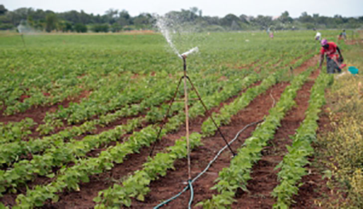
The Agriculture Technical and Extension (AGRITEX) is exploring the feasibility of using satellite imagery and drone surveillance during the 2021/22 crop assessment under Command Agriculture/National Enhanced Agriculture Productivity Scheme (NEAPS) in determining the national crop output.
Currently, crop assessment and estimation of the national crop output is being undertaken by AGRITEX officers and the National Crop Assessment Team who use the sampling method. AGRITEX’s sampling method has significant margins of error as estimated average crop output in different regions of the country are used to compute the national output.
The contact noted that the objective of adopting the satellite imagery and drone surveillance is to monitor crop growth from planting till harvest and come up with an accurate national output. He also added that regular crop monitoring will also help to solve current challenges where some dishonest farmers falsely declare crop failure in a bid to either avoid loan payments or under-declare output.
“AGRITEX usually faces transport challenges to carryout daily activities, meaning that the officers undertaking crop assessment are not able to cover the length and breadth of their regions. As a result, the samples they use to estimate the national output are not fully representative of the actual crop status.
“Dishonest farmers who supply false information have resulted in CBZ Agro Yield failing to recover their loans from such farmers, a financial burden that eventually is borne by Government as the financial guarantor to Command Agriculture,” said the contact.
Crops currently under Command Agriculture include Maize, Soya bean, and Wheat.